(scroll to right to see all)
Aerial pic from Photos by Kat
Sloan Range
|
||
 Aerial pic from Photos by Kat |
||
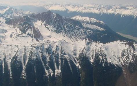
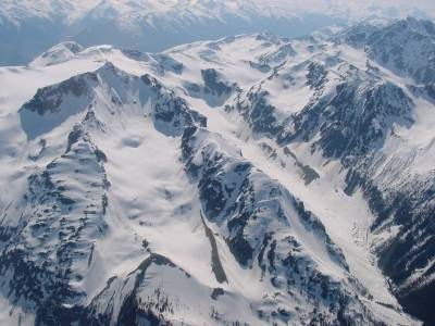
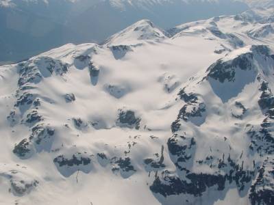
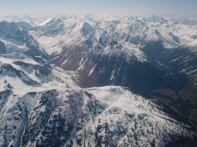
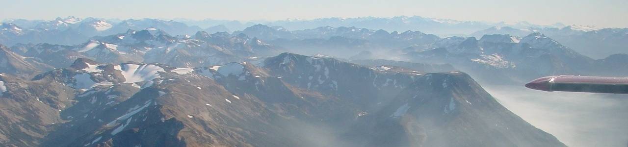
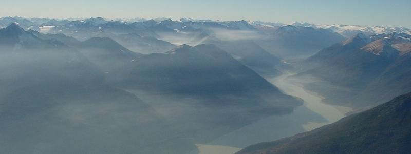
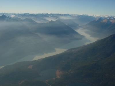
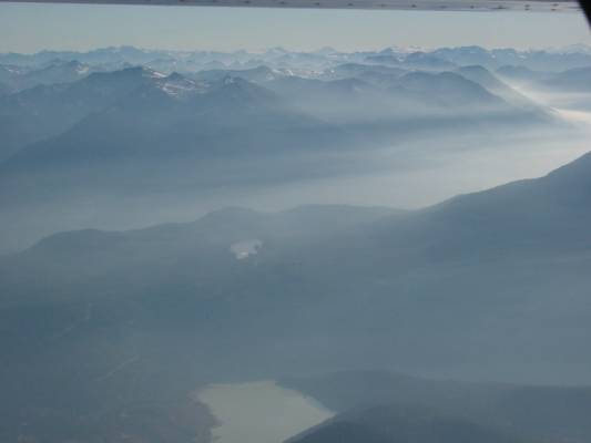
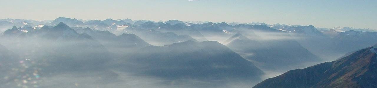
| In the misty panorama above, the Sloan
Range (or whatever you'd prefer to call it) is to the left of Downton
Lake, which is the reservoir formed by Lajoie Dam. The Dickson Range's drier summits are to the
right, and in the distance at left is the Lillooet Crown Icecap, which
is the source of seven of the Coast Range's largest rivers, including
the Bridge and the Lillooet. This large and very high range doesn't
actually have a properly gazetted name although it seems proper to call
it after its most prominent peak, Mt. Sloan (at far left), which stands
at its eastern apex; its rough boundaries are formed by the valleys of
the Lillooet, Hurley and Bridge Rivers, and it butts up against the
foreshoulders of the immense Lillooet
Crown Icecap on its northwestern end. Some have called it the
Hurley Range, but some old-timers maintain this is best applied to the
mountains at the headwaters of the Hurley River, southwest of Lone Goat
Creek, which form the ramparts between the Bridge River Country and
the deep valley of the Lillooet River. If there's an actual name
convention for the range now - thanks to its popularity with climbers
and alpinists - someone please let me know. I've sometimes
called it the Thiassi Range, after Mt. Thiassi at the range's rugged
core - Thiassi was king of the frost giants in Norse mythology; it
happens that a neighbouring crag to Mt. Sloan is called The Frost Fiend,
so maybe I'm onto something. The other named peak that I remember
is Mount Vayu, after the Hindu god of the sky. The highest of the group
is Mt. Samson, in the Hurley Range subset, which
stands directly above the Pemberton Meadows area of the Lillooet River
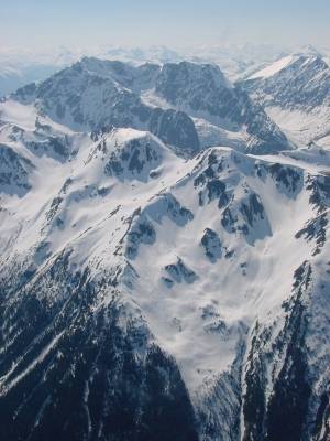
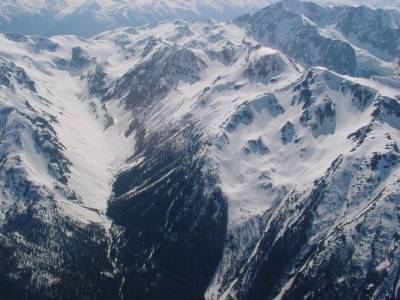
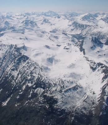
valley on its westward side. Another few panoramas of the
range follow, including at left just below the source image for the
panorama above, which shows Little Gun Lake
in the foreground, and then closeups of certain peaks as available; the
similar view at lower right also shows Big Gun Lake. The mist may
be atmospheric and mystical-looking, but it's the result of forest fires
or controlled burns in the area; these shots are from late fall
(November 1, 2002) when controlled burns are often done. |
||
|
 Aerial pic from Photos by Kat |
 Aerial pic from Photos by Kat |

Aerial pic from Photos by Kat